Borderization – Creeping Occupation
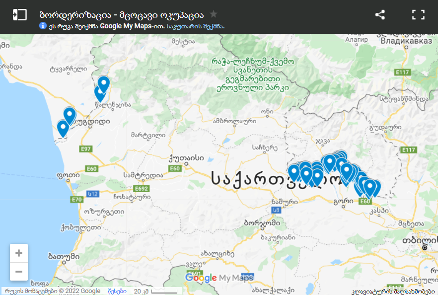
Tbilisi. The interactive map created by the Rondeli Foundation contains open-source information on the facts related to "borderization," including video and photographic materials. The map shows the dates when the "borderization" of a particular section took place and provides an insight on the dynamics of the "borderization" process.
Moreover, the map is adaptive which means that new cases of "borderization" will be incorporated.
Source: www.gfsis.org


